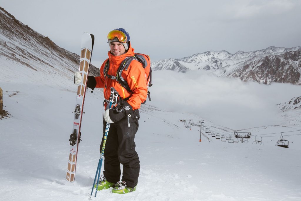
The El Niño that skiers have been watching all fall is still strengthening. According to SnowBrains’ summary of the latest NOAA Climate Prediction Center discussion, published October 9, sea surface temperatures in parts of the eastern equatorial Pacific ran more than 4.0°C above average in September, and NOAA kept its El Niño Advisory in place.
We covered the first round of this in late September, in what the NOAA update means for Colorado and California skiers. This is the follow-up, with the new numbers and a clear look at what they can and cannot tell you about your trip.
What are the new El Niño numbers?
SnowBrains reports that the Niño-3.4 index, the most commonly cited measure, reached +2.1°C in September. It says the chance of a strong-to-very-strong event is above 83 percent through January to March 2027. It also reports the odds that a three-month reading reaches +2.5°C or higher, which it describes as stronger than any El Niño since 1950: 54 percent for September to November, 83 percent for October to December, and 70 percent for November to January.
Those are the figures as reported, and they come from a probabilistic forecast, not a measurement of what will happen. The same summary says El Niño is expected to keep strengthening through the end of 2026, then weaken through spring 2027, with neutral conditions becoming more likely by April to June. The next scheduled NOAA update is November 12.
What does the winter outlook say about snow?
OpenSnow, in a piece dated October 15, describes the NOAA seasonal outlook this way. For temperature, most of the northern U.S. leans warmer than normal, including Oregon, Washington, Idaho, Montana, the Upper Midwest and the whole eastern half of the country. The Southern Rockies (Colorado, Utah and New Mexico) are listed as equal chances for above or below normal. For precipitation, California, Arizona, New Mexico and most of Colorado lean wetter than normal, which OpenSnow notes matches the usual storm track in El Niño winters. It gives an 80 percent chance of a very strong event from December through February.
The same article is blunt about the limits. It says long-range forecasts are rarely accurate, that these outlooks cover three-month periods, and that ski conditions are driven by storm cycles lasting a few days to a week.
Which regions have historically done well in a strong El Niño?
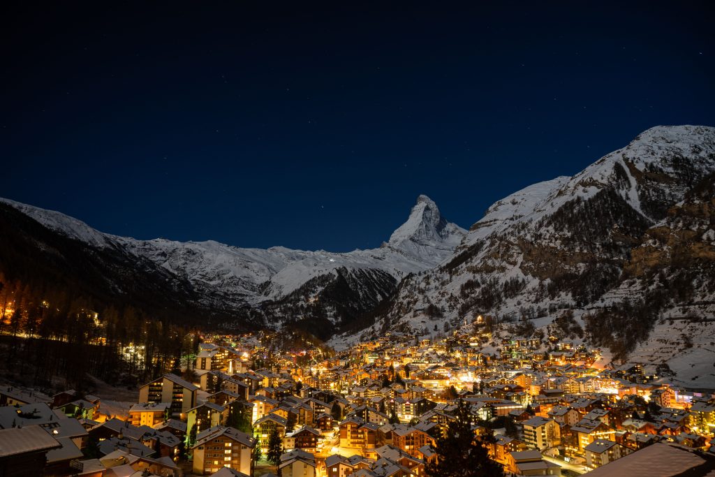
A separate overview from Mountain Marker lays out the historical tendencies. It describes the southern Rockies and the California Sierra as favored, the Pacific Northwest and northern Rockies as tilted drier, and interior British Columbia as tilted warmer and drier. For the Northeast it says the precipitation signal is weaker and less consistent, with rain a risk at lower elevations. It describes the Alps as largely outside the El Niño influence zone, and says a strong event tends to mean fewer deep powder days in Japan than in La Niña years, with December the most reliable window.
It also makes a point we think matters most. These are shifts in odds, not guarantees. The article notes that the 2015 to 2016 event, comparable in strength, ran storm tracks farther north than the typical pattern predicted, and still produced pockets of good snow in the Northwest.
Does this change when you should book?
Not much, in our view, and that is the honest answer. A strong El Niño is a reason to look at the regions that lean wetter if you are still choosing a destination, and a reason to keep a flexible backup plan if you have already committed to a region that leans dry. It is not a reason to cancel a trip.
Mountain Marker adds one practical point: the signal is strongest from January to March, which is also when many people take their main trips. If you are booking a lesson or a guide for those weeks, the same rule applies as always. The best pros fill up first, and conditions are the one thing nobody can promise. Our guide to how far in advance to book a ski lesson or guide covers timing, and the pass deadline calendar covers the dates that matter if a pass is part of your plan.
What should you watch next?
Three things. First, the November 12 NOAA update, which will show whether the event peaked as forecast. Second, the opening dates and snow reports from the resorts you care about, since early-season conditions say more about December than any seasonal outlook. Third, the short-range forecasts in the week of your trip, which OpenSnow recommends over long-range outlooks for trip planning.
If you are weighing a trip, we would rather you plan around a pro and a flexible itinerary than around a forecast. A good instructor or guide will tell you where the snow is on the day, which no seasonal outlook can.
MEETR is a marketplace for finding outdoor guides and instructors. Search by discipline and location, see the professional before you book, and plan the day with someone who knows the country you are standing in. Find your pro at meetr.pro.




 390 Hollyberry Lane...